Institutes & Centers
Institute for Earth Observation
Institute for Earth Observation
- Deutsch
- English
- Italiano
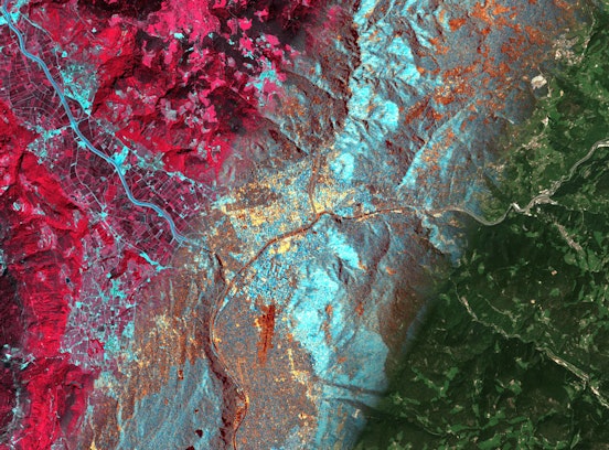
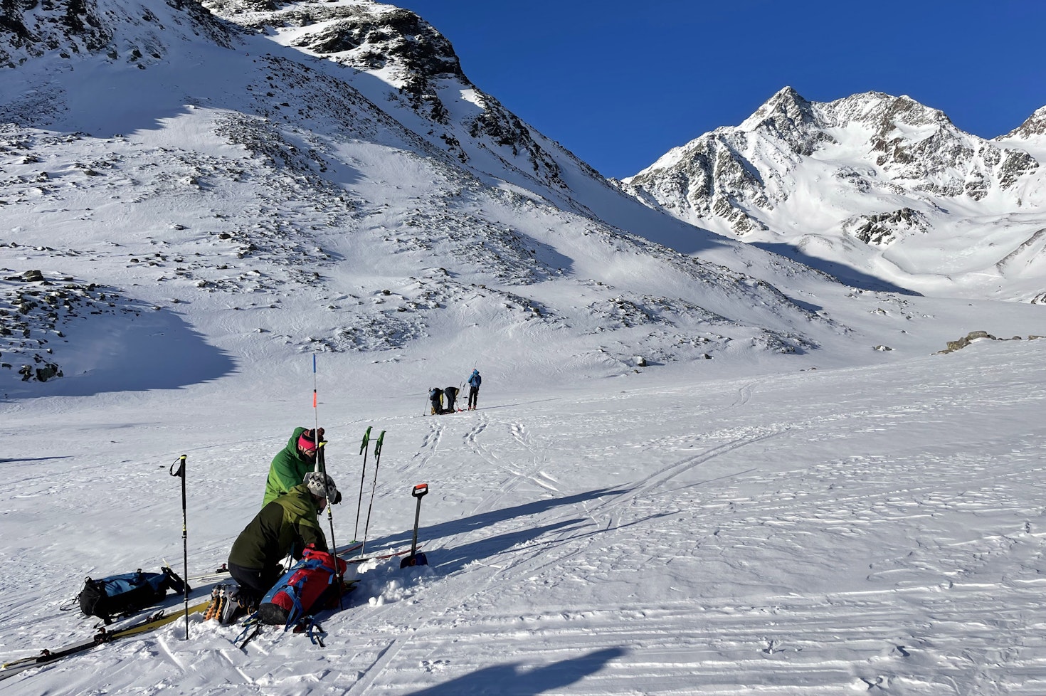
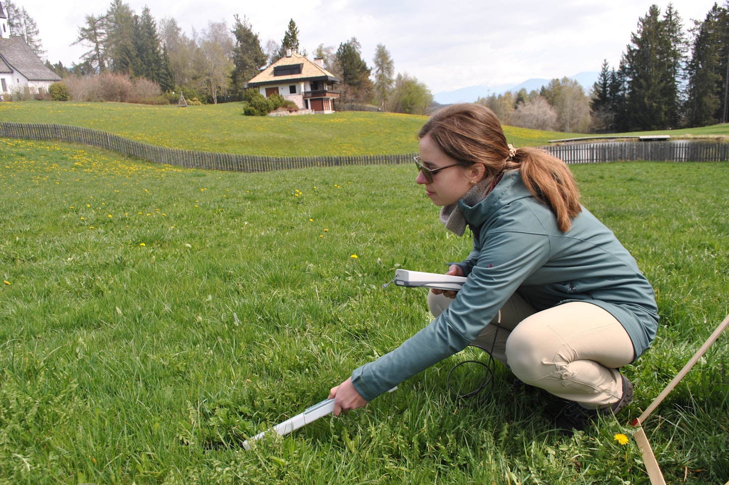
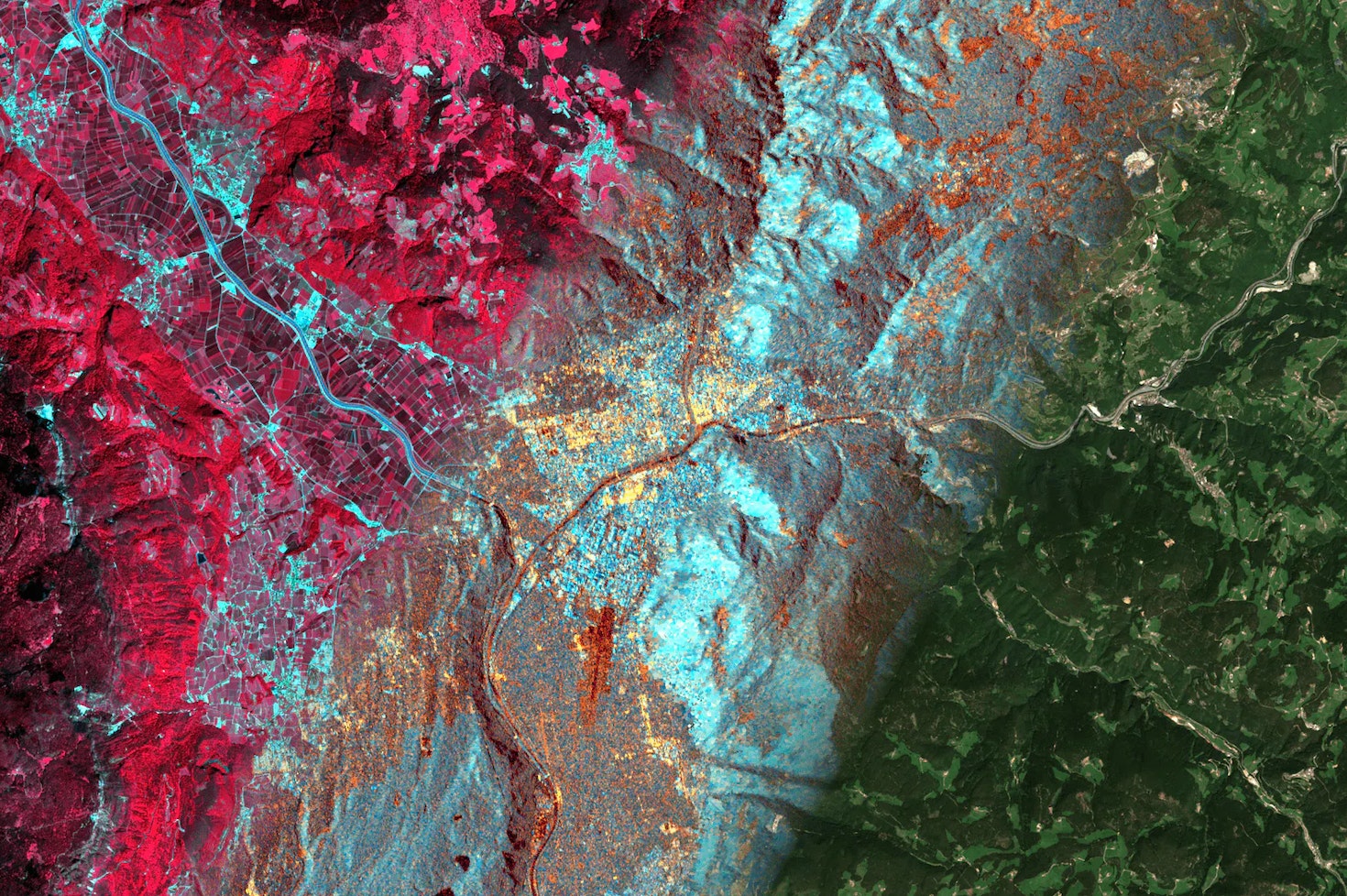
In recent decades, the vulnerability of mountainous regions to extreme events has become evident, due to the impacts of phenomena like glacier melt, storms, and droughts, whose frequency and intensity have risen. At the Institute for Earth Observation, we monitor the environmental dynamics of the Earth’s surface in the mountains aiming to understand changes, investigate their causes, and support the involved communities.
1 - 4
Facts
& Figures
38
Staff members
14 with a PhD degree
54
Ongoing projects
25 with international partners
25
Journal publications
55
Presentations at scientific conferences
Data refer to the last issue of the Activity Report. See all Facts & Figures.
Research Groups
1 - 3