magazine_ Interview
Open access answers for an emerging city
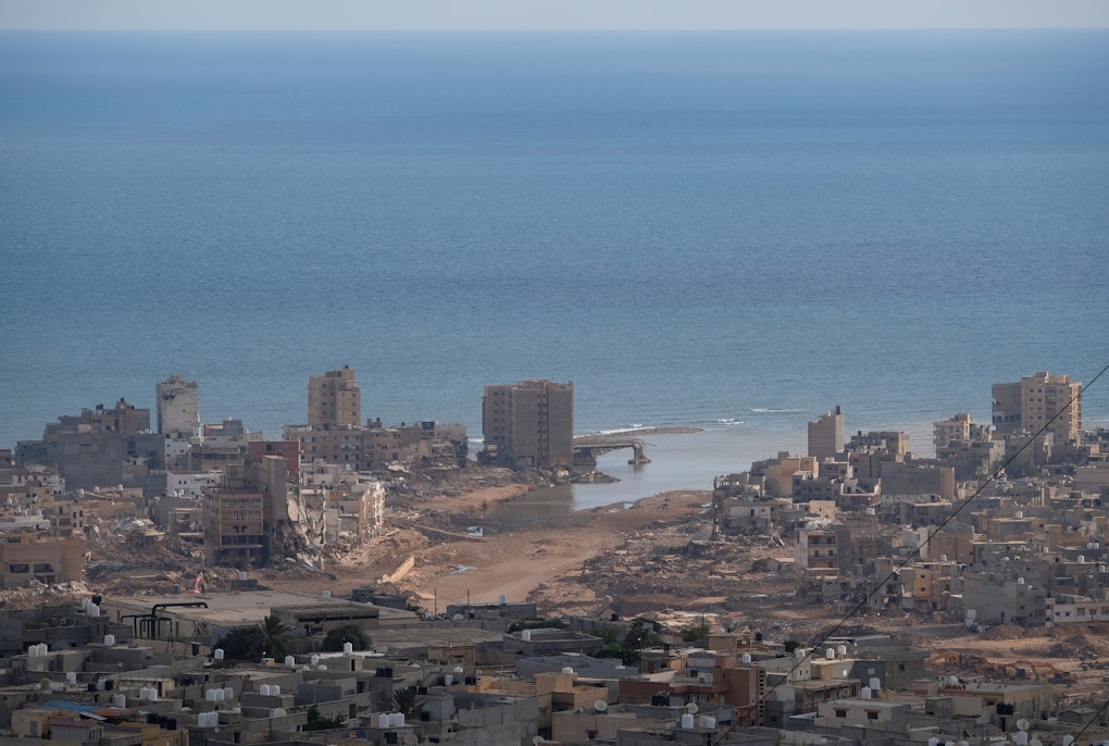
Most people haven’t heard of Phuthaditjhaba but what’s happening there can provide insights to some of the greatest challenges we are facing in terms of climate change, overpopulation and resource management.
Jess Delves, a researcher at the Center for Global Mountain Safeguard Research has edited a book on the growing mountain metropolis. Sustainable Futures in Southern Africa's Mountains is an open access book and collaborative effort between the University of the Free State and the Afromontane Research Unit which presents a multidisciplinary approach on developing cities and places the United Nation's Sustainable Development Goal's at the heart of these research questions.


Can you share some facts about Phuthaditjhaba?
Jess Delves: Phuthaditjhaba is in an area called QwaQwa, and QwaQwa correlates almost exactly to the city itself, so people use the name interchangeably. QwaQwa means ‘whiter than white’ in Sesotho, because of the snow on the mountains which form a dramatic backdrop to the city. And though Phuthaditjhaba's in the foothills of these mountains, it's still at 1,600 m.a.s.l. Compared to Bolzano, it's high. And that obviously affects the climate there too, in winter it drops well below zero. Often, we’re in video calls with colleagues down there in wooly hats and scarfs while we are here melting in Bolzano’s summer heat. Phuthaditjhaba is in the Maloti Drakensberg mountains, which is part of a much larger chain - The Great Escarpment ̶ which runs all the way down through South Africa and divides the lowlands from the Central African Plateau. It also forms the eastern border between Lesotho and South Africa. Really, it’s a huge wall of mountains that separates the Lesotho Highlands from the South African lowlands.

Are there any other nearby cities or growing localities that could be likened to Phuthaditjhaba?
Jess: I would say it's quite unique, not necessarily because of the location, because there are other cities along this mountain chain, but because of the history of the area. It was a so-called ‘homeland’ under Apartheid. Homelands were areas in South Africa that were like reservations in the USA. The native populations were removed from the rest of South Africa and made to live in these places. Phuthaditjhaba is a Sesotho word which means the ‘meeting place of nations or tribes’. It was the smallest homeland, and it was the homeland designated for the Basotho people. The idea of the Apartheid government was to put the same ethnicities together, they made these areas where they would move certain ethnicities, whether or not those people had grown up in that area or had connections to it.
And because of the unique positioning, both geographically and culturally, it provides the ‘ideal’ scenario for the Sustainable Futures in Southern Africa's Mountains book.
Jess: Yes, the idea behind it was that QwaQwa, on the surface, seems very unsustainable. It developed very quickly under this homeland scheme because a lot of people were forcibly moved there. And so, in the '70s and '80s, the population really exploded, and people had to make do with what they had, which actually, was more than it is now because the Apartheid government had an interest in keeping people there. They provided infrastructure, and jobs, and schools, and healthcare, things like that. But then at the end of Apartheid, it was reintegrated into South Africa and all of that support disappeared. And the municipal government is not very effective. In fact, it was placed under administration in 2018. It's not a very sustainable city, but it is developing. In the book, we wanted to think about the positive sides of the area. How it could change path and develop sustainably.
How did Phuthaditjhaba appear on your radar?
Jess: Even before GLOMOS was born, our co-head Jörg Szarzynski, who heads the UNE-EHS office of GLOMOS in Bonn had been working in southern Africa for over a decade on disaster risk reduction and collaborating with the University of the Free State (UFS). The UFS has a campus in QwaQwa and we’ve been working very closely with their Afromontane Research Unit. They started the same time as GLOMOS and have a similar objective within Southern Africa, and that's basically doing transdisciplinary research in the mountains. Phuthaditjhaba is really at the border of Free State and KwaZulu-Natal, which is another province of South Africa, and Lesotho, so it's at a T-junction of three big administrative areas.
Water does not respect administrative boundaries.
Jess Delves
Is that a pro or a con?
Jess: Probably a con. Our research looks at water especially, and water does not respect administrative boundaries, and yet the water that is used in Phuthaditjhaba comes from the surrounding mountains, including from Lesotho and KwaZulu-Natal. The management of water across these boundaries is really difficult because everyone wants some of the water, and what people are doing further up in the catchment really affects the quality and quantity of the water lower down. So, if you have people polluting the water higher up, who are in another region or even another country, there's very little that a region, or province, or country downstream can do to stop someone polluting or doing any kind of activities that is impacting their water. GLOMOS and our South African partner UFS wanted to showcase the research that is currently going on in QwaQwa. From reading online it can seem like Phuthaditjhaba is under researched, but that's just not true. The problem is that a lot of the research doesn't get published through easily accessible channels, like open access. The University of the Free State, especially, is doing some great research there from all different disciplines. We created the book because we wanted to put all these different research projects in one place with a focus on Phuthaditjhaba and say, “Look, there actually is stuff going on here.” Obviously, there's a lot still to be done, but that's where I think the SDGs come in handy. Using them as a framework for the contributions in the book, it’s easy to see which SDG themes are being dealt with in research and which not. Then we can say, ok, these are some of the research gaps that should be looked into in the future. Most of the authors are from the University of the Free State, because they are physically based in Phuthaditjhaba. But then there's a few that are from other institutions in South Africa. Plus, it's not only researchers that have contributed, but also practitioners. So, people that are working on the ground in what we scientists like to call ‘sustainable development’. One of my favourite chapters is about a woman who on her own started a vegetable garden and encouraged her community to grow their own gardens. She teaches local people how to grow vegetables and encourages them to give away any surplus to people in need or to the local hospitals (which sometimes don’t have enough food to feed their patients). Now her community have better food security and some cash income. For me her story is a nice reminder that, while of course science and research is important, seemingly small actions at a very local level can have big impacts on people’s lives.
Are there any other vestiges of Apartheid?
Jess: I would say again the situation whereby a huge population was put in one place and given enough services and infrastructure to live there. And then at the end of Apartheid, all that was just taken away. We had some very surprising conversations with residents of QwaQwa about Apartheid. Personally, I had always assumed that people in QwaQwa would view the period under Apartheid very negatively, and in contrast, view the period of democracy positively. But that wasn’t the case. There were people who said they were better off under Apartheid because the government provided infrastructure and services, like roads, schools and healthcare. The government gave massive subsidies to white business owners to move their factories to QwaQwa in order to provide employment and stop black people migrating to white areas of the country. Especially for this business owners this was a great deal: heavily subsidised labour and a growing workforce. But then, when democracy came in 1994 and the South African trade unions fought for better pay and working conditions, the subsidies also disappeared. At the same time, boycotts against South Africa ended and it entered into global markets when neoliberal economic policies were taking off. That meant the business owners could move their production to wherever costs were lower, be it other African countries or even further afield. The job market in QwaQwa went into steep decline. Today there's a huge area now that is all just disused factories in the middle of the city. There's actually a chapter on that in the book.
What else is covered?
Jess: The book opens with the history of the area. And then we have chapters from different disciplines, from the economy and business side, talking about the commercial areas, and then looking into more agricultural and biodiversity aspects, so the natural sciences side, and then water scarcity which has been a really big problem in the city in the last 10 years. It's quite a paradox because it's a big water producing area, in the sense that there is rain and precipitation, also in the form of snow. And just the other side of the mountains is this huge water transfer project, which transfers water from Lesotho to South Africa. And yet people in QwaQwa don't have water from their taps. It reached a crisis point in 2019-2020, and there were huge protest, and the whole city was shut down for three days because of the protests. When we were there in December there were frequently power outages, they had recently been without electricity for three weeks. With no electricity, you cannot pump water, and so no water. When water stops flowing in pipes then sand and dirt can build up, then when you turn the pressure on again, BAM, the pipes burst. One of the big problems is the lack of maintenance of the water infrastructure, basically nothing has been updated since 1994. And at the same time, the city has been growing and some people have been connecting illegally to the existing water infrastructure, which is totally understandable, but then you lose pressure in the system, or pipes leak or burst and then they don't get fixed. There's lots of reservoirs around the city that are just not working. And then another very important thing is that we believe the census data is not correct. The census data says that there's about 275,000 people in Phuthaditjhaba. But speaking with people there, we got very different numbers, from 300,000 to 1.2 million. And of course, if you are planning your water infrastructure for a population of 275,000 but really there's a million people living there, someone's not going to get their water. It’s something we are working on now. By using remote sensing, looking at satellite data and at how many buildings there are, and going and doing questionnaires in the city, we can estimate on average how many people live in certain types of buildings. Then we can come up with a range that could be a more accurate estimation of the population currently living in Phuthaditjhaba. We can use the same methodology to look at the past, to see how it's developed, and then project into the future. This is of vital importance for all kinds of town planning.

What about imagining the future for the region? What scenarios are there and are they positive?
Jess: There's a couple of chapters in the book that imagine a better future for Phuthaditjhaba. And it's not different to what we would want here in South Tyrol. It's about people having access to good quality jobs, public transport, to healthcare, to education, and also to less obvious things that help maintain our wellbeing, like time to do sport and to get in contact with nature. And this is something that is a real strong point for Phuthaditjhaba, because it's in this beautiful mountain area. I mean, it's really stunning. Yet the little tourism there is remains higher up in the mountains or in other urban centres. In Phuthaditjhaba itself there's not a good infrastructure for tourism, there’s no public transport to get around. There's a limited number of hotels. And there is a much more touristy town just the other side of a nearby national park. It's definitely something that can be developed. There are some people pioneering the tourism industry there, and there's also a chapter on that. There's another chapter that investigates urban greening and reflects on the importance of green urban space in a future with higher temperatures. More urban trees can not only to mitigate urban heat island effect, but it also generally makes cities more livable. Fruit and nut trees can provide food, and the labour needed for planting and maintenance can create job and training opportunities. More green can also support greater biodiversity in urban spaces. Phuthaditjhaba may sound a long way from our lives in South Tyrol, but urban ecological connectivity is very topical in Bolzano at the moment. Many of the topics in the book are relevant for other cities in ‘developed’ and ‘developing’ cities: water management, fair access to natural resources, urban greening, tourism development... There is lots we have to learn from one another and I hope this book can provide a few lessons.
 Credit: Serero Modise | All rights reserved
About the Interviewed
Jess Delves is a Programme Associate at the Centre for Global Mountain Safeguard Research (GLOMOS), a joint research programme of Eurac Research and the United Nations University Institute for Environment and Human Security. Her research is in the domain of climate risk and investigates community resilience. Her particular focus is on the drivers and impacts of land degradation in the Maloti-Drakensberg mountains in South Africa and Lesotho, and considers how the regional political economic setting influences rural inhabitants’ land management strategies.