


magazine_ Article
Drones for science
Remotely piloted aircraft are changing scientific research
Credit: Schirra/Giraldi | All rights reserved


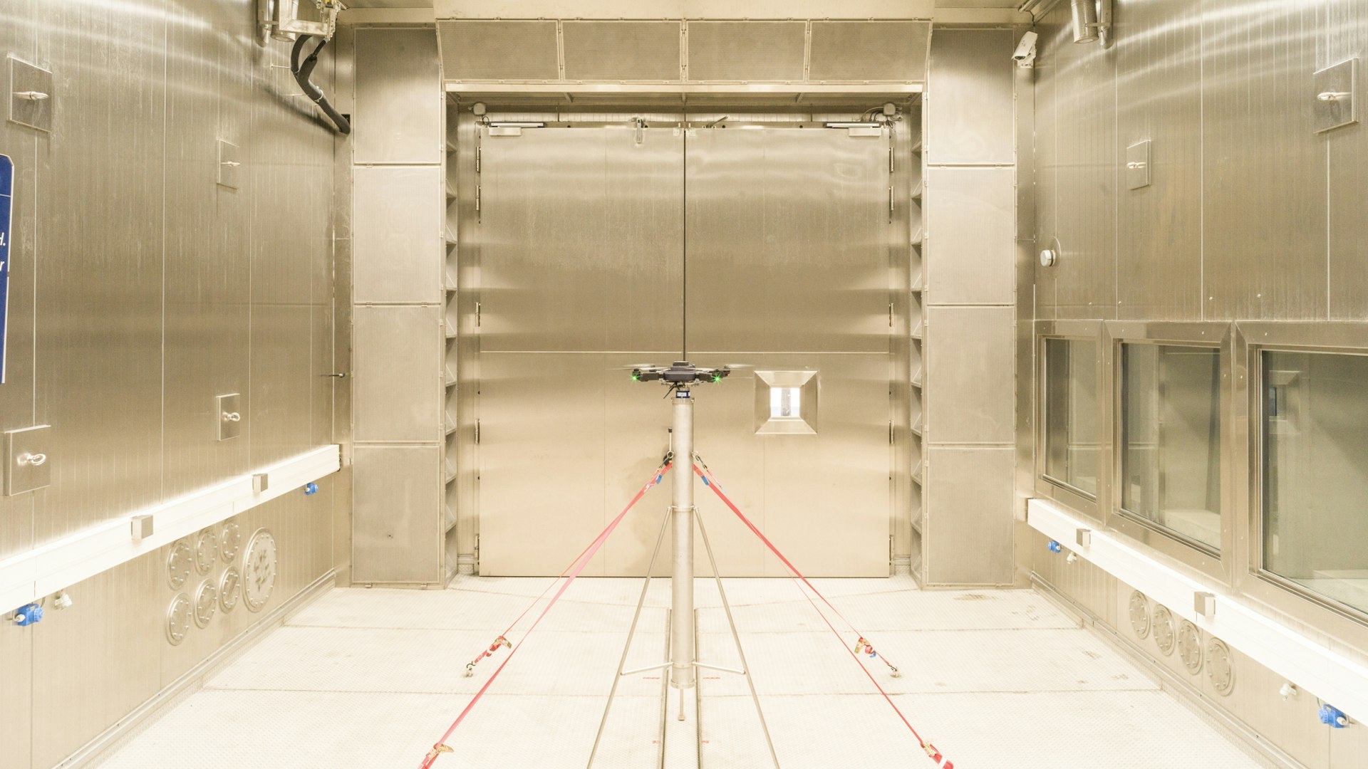
First tests of free-flying drones inside the Large Cube in the terraXcube. The drones flew up to a simulated altitude of 9,000 m.a.s.l.
Credit: MAVTech | BF Visuals | All rights reservedNatural hazards - a birds eye view
This content is hosted by a third party. By showing the external content you accept the terms and conditions.
Integrating Different Methods for Landslide Monitoring: The Lemonade Project
Drones on the hunt, for beacons
"There are so many ways drones can help acquire useful data, it all just depends on the instrumentation they carry."
Abraham Mejia Aguilar, monitoring expert at Eurac Research's Center for Sensing Solutions.

1/4

2/4

3/4

4/4
Drones, science and more…
"Compared to satellite images, those captured by drones display much higher accuracy and detail”
Roberto Monsorno, head of the Eurac Research's Center for Sensing Solutions
The future of drones
One of the first tests for emergency operations using drones. The test took place in 2021 as part of the Start project, in the Bletterbach Gorge.
One of the first tests for emergency operations using drones. The test took place in 2021 as part of the Start project, in the Bletterbach Gorge.Video: Eurac Research
This content is hosted by a third party. By showing the external content you accept the terms and conditions.
Related People
Institutes & Centers









 My cookie preferences