
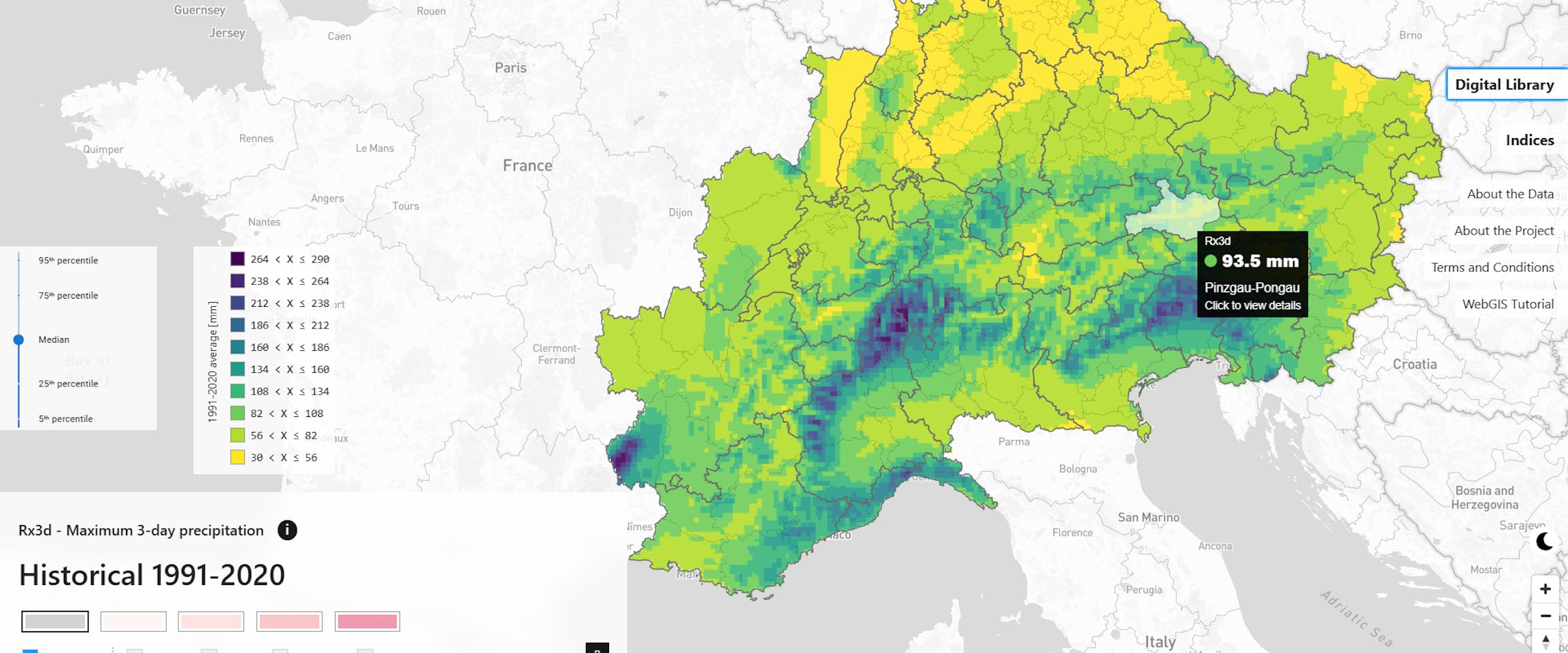
X-RISK-CC WebGIS
What is it: The X-RISK-CC WebGIS tool provides free access to data and information on past and future weather extremes in the Alpine region. The platform supports climate risk management and is intended for a wide range of users — from risk managers and researchers to policymakers and the general public. It serves as a basis for impact studies, risk assessments, and adaptation planning at national, regional, and local levels. Particular attention is given to compound events — extremes that occur simultaneously, in sequence, or across multiple countries. By raising awareness and understanding, the tool also encourages individual actions to help reduce or prevent climate-related impacts.
Who it is for: The X-RISK-CC WebGIS is intended for stakeholders and decision-makers involved in climate change policies and adaptation, as well as for researchers working on climate extremes.
Access: The tool is freely accessible online at https://cct.eurac.edu/x-risk-cc.








 My cookie preferences