
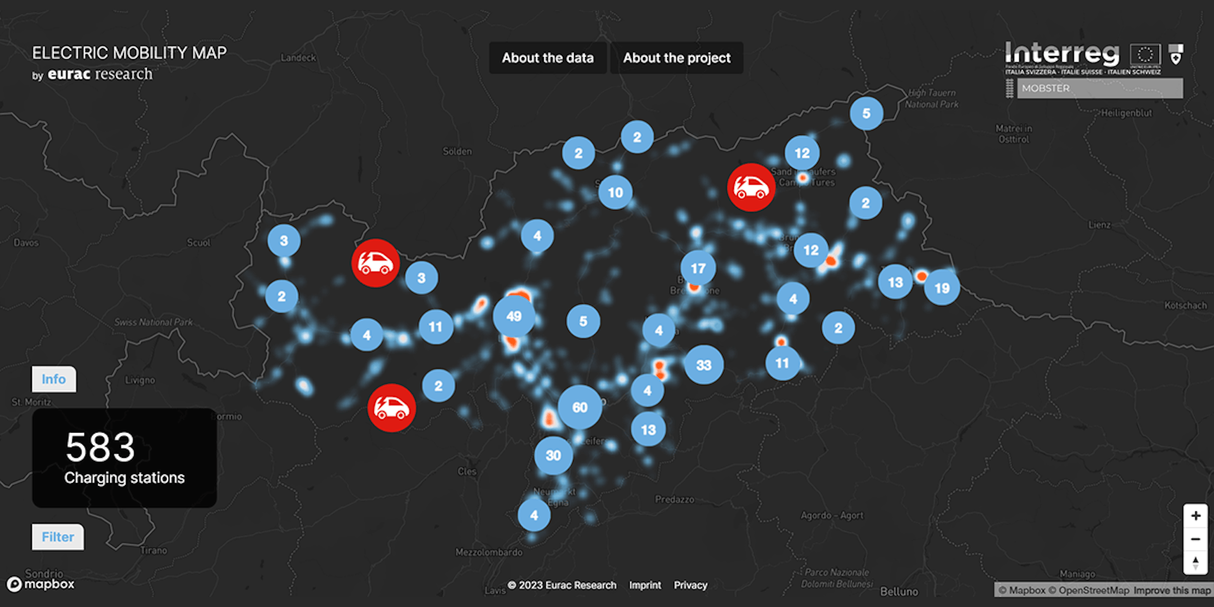
The Atlas of infrastructure needs for electric mobility has been developed within the Interreg IT-CH MOBSTER project. In the project, the analysis was applied in 3 case studies (Alto Adige, Verbano Cusio Ossola, Canton Ticino) but the methodology is transferable to other contexts and adaptable to other types of users.
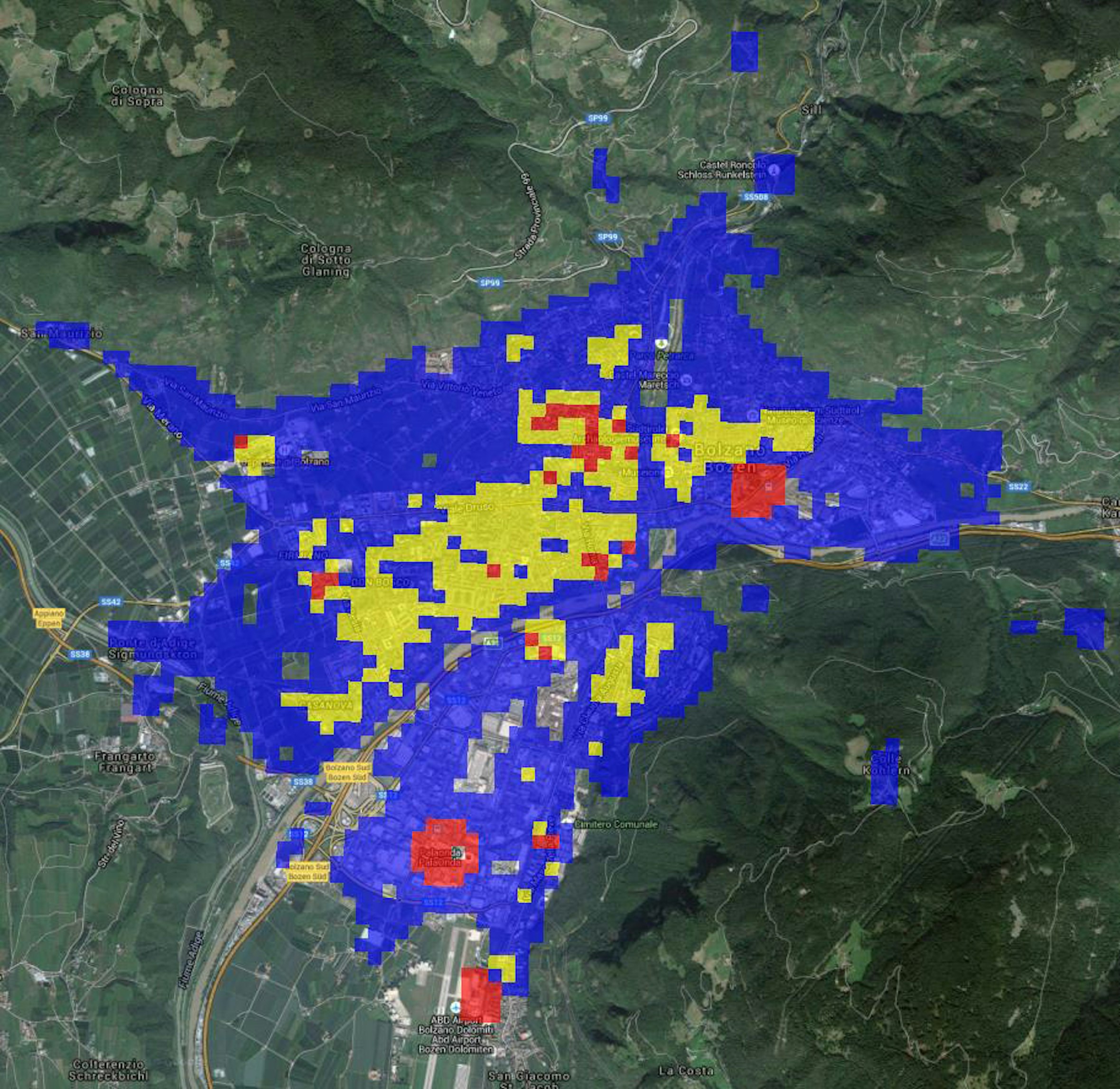
The maps are the result of the electric mobility infrastructure needs analysis in 3 different areas: South Tyrol, Verbano-Cusio-Ossola and Canton Ticino. The method was designed in a GIS environment, using an algorithm that overlay different layers. In this case, the calculation process consists of a weighted sum of so-called "points of interest" (POIs), i.e. those places which, for a certain reason, generate a form of attractiveness to tourists. Specifically, three categories of POIs were considered:
- tourist poles (such as natural parks);
- existing infrastructures (such as railway stations);
- mixed activities (such as hospitals).
The results of this analysis are maps representing on a scale of values the most and least suitable areas for the installation of new charging points for the considered users
The maps are consultable at this link. For a correct and useful interpretation of this web atlas please refer to the contacts at the bottom of the page












 My cookie preferences